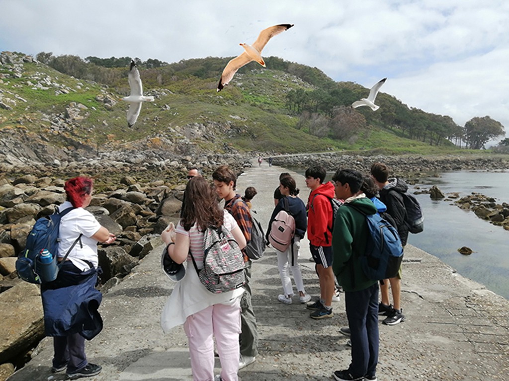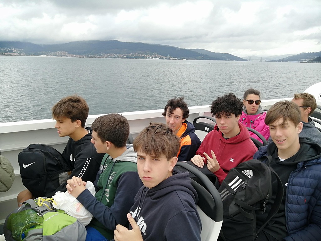
The archipelago of the Cíes Islands belongs to the Maritime-Terrestrial National Park of the Atlantic Islands of Galicia. Located at the entrance of the Vigo Estuary, its three islands, North or Monteagudo, Middle or Do Faro, and South or San Martín, are visited throughout the year. Despite access restrictions to the park, which limits the entry to no more than 450 people per day, the Vigo archipelago was visited by more than 100.000 people during 2022.
The importance of these islands lies in the richness of ecosystems found in their cliffs, shrublands, dunes, beaches, and seabeds.
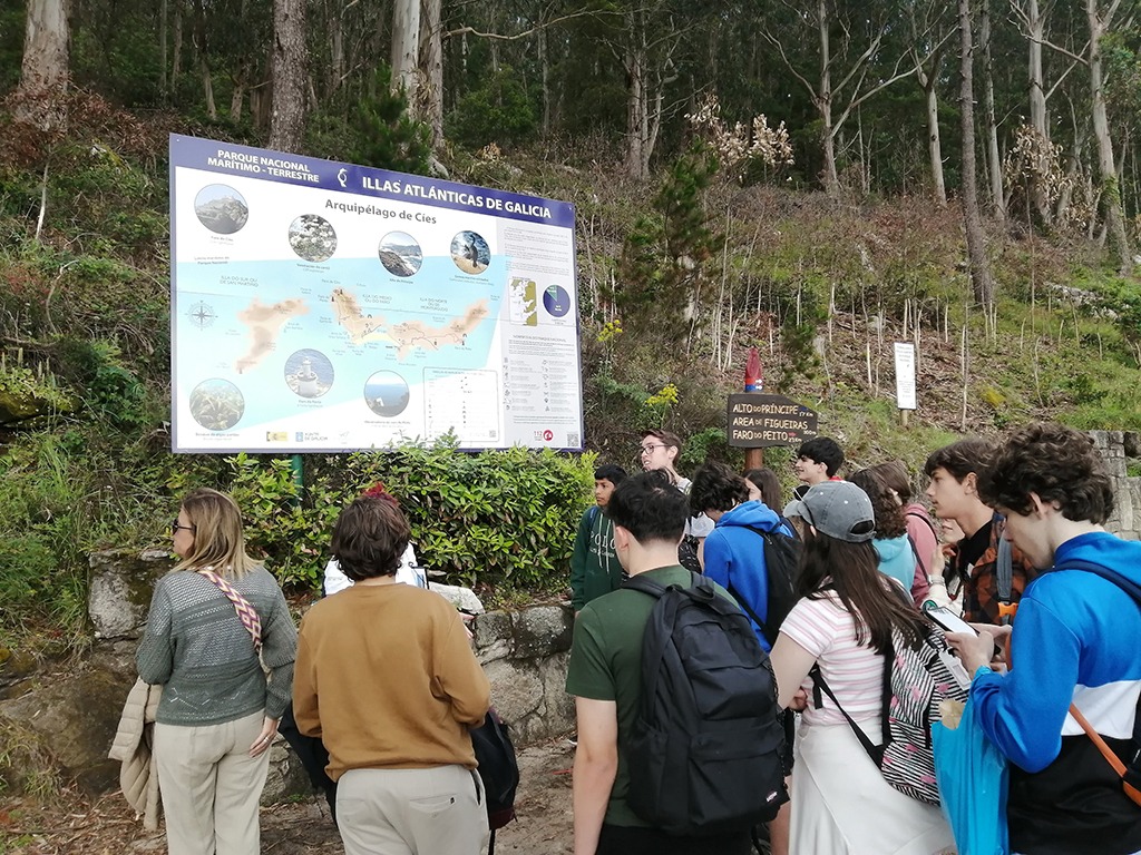
It has several international recognitions for environmental protection, such as: Natural Park since 1980, National Park since 2002, Special Protection Zone for Natural Values (ZEPVN) since 2004, OSPAR Zone since 2007, Special Protection Zone (ZEC) since 2014, Special Protection Zone for Birds (ZEPA) since 2014, Site of Community Importance (LIC), Starlight destination since 2016, member of the Ramsar list since 2021, and European Charter for Sustainable Tourism. Its inclusion in the UNESCO World Heritage sites is currently being requested.
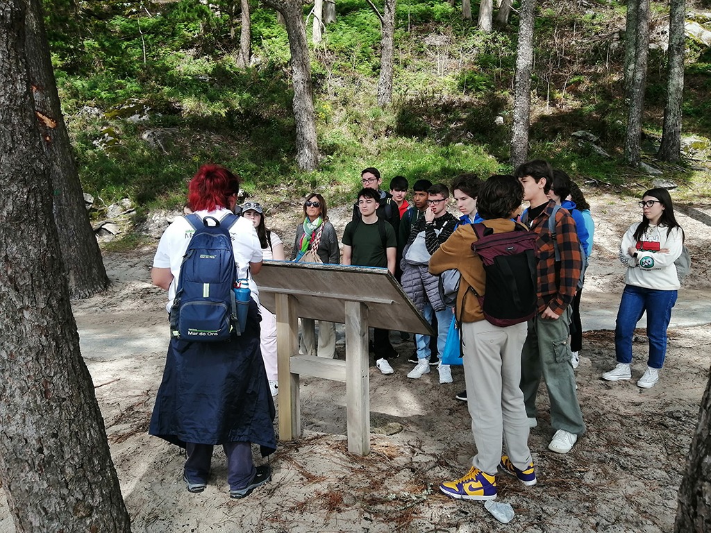
The terrestrial environment features habitats with species of endemic fauna and flora, endangered species listed on the Red List of Spanish Vascular Flora, species with restricted distribution, and evolutionary singularities.
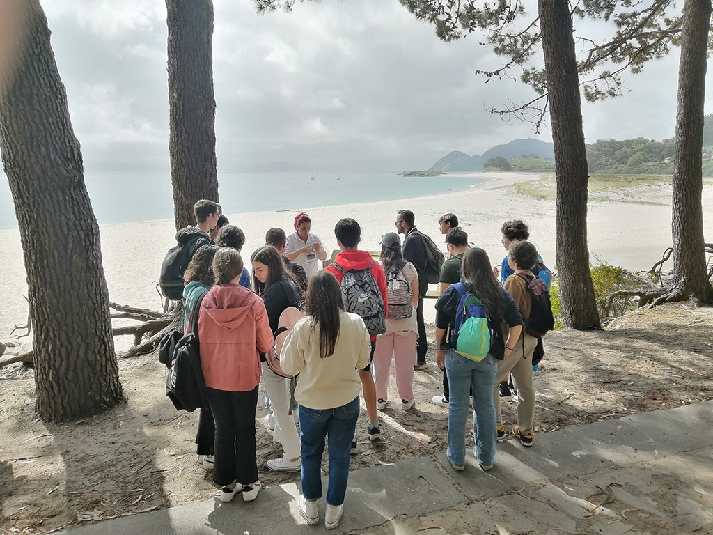
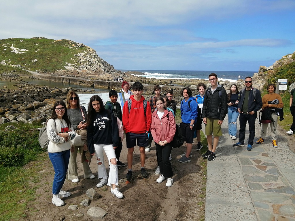
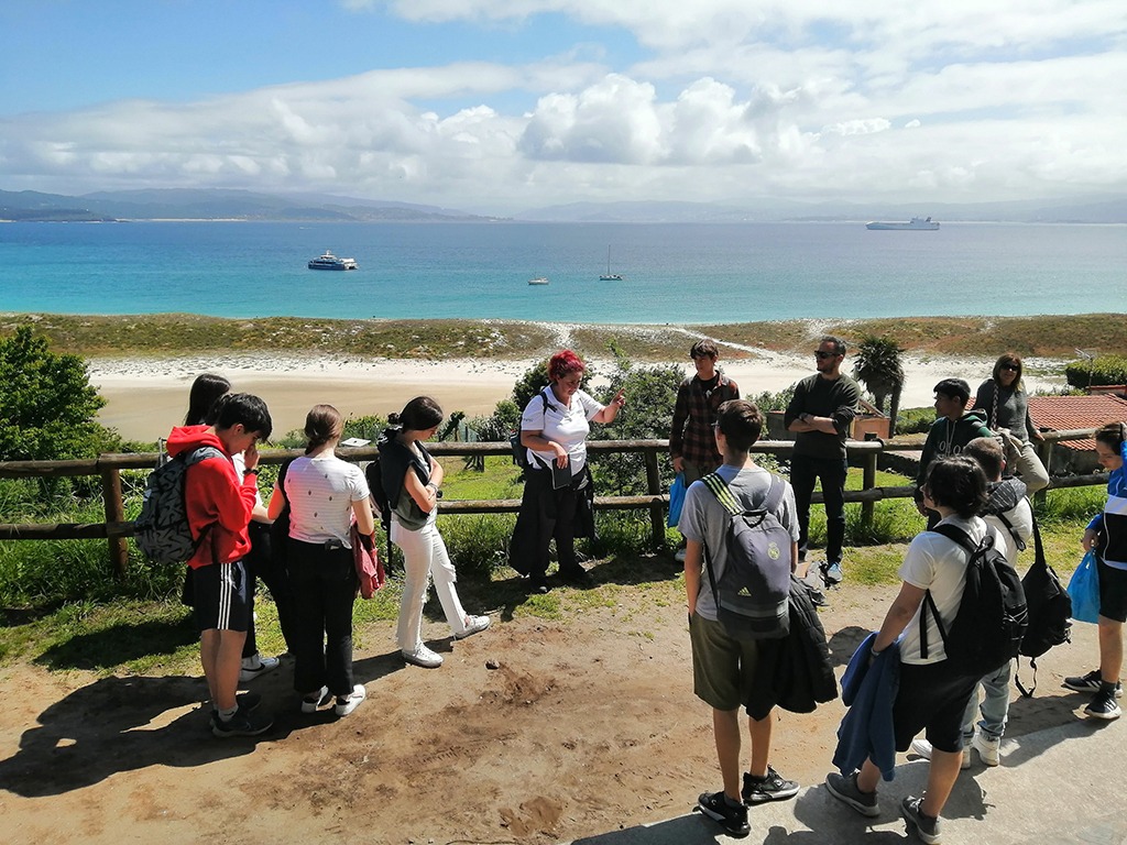
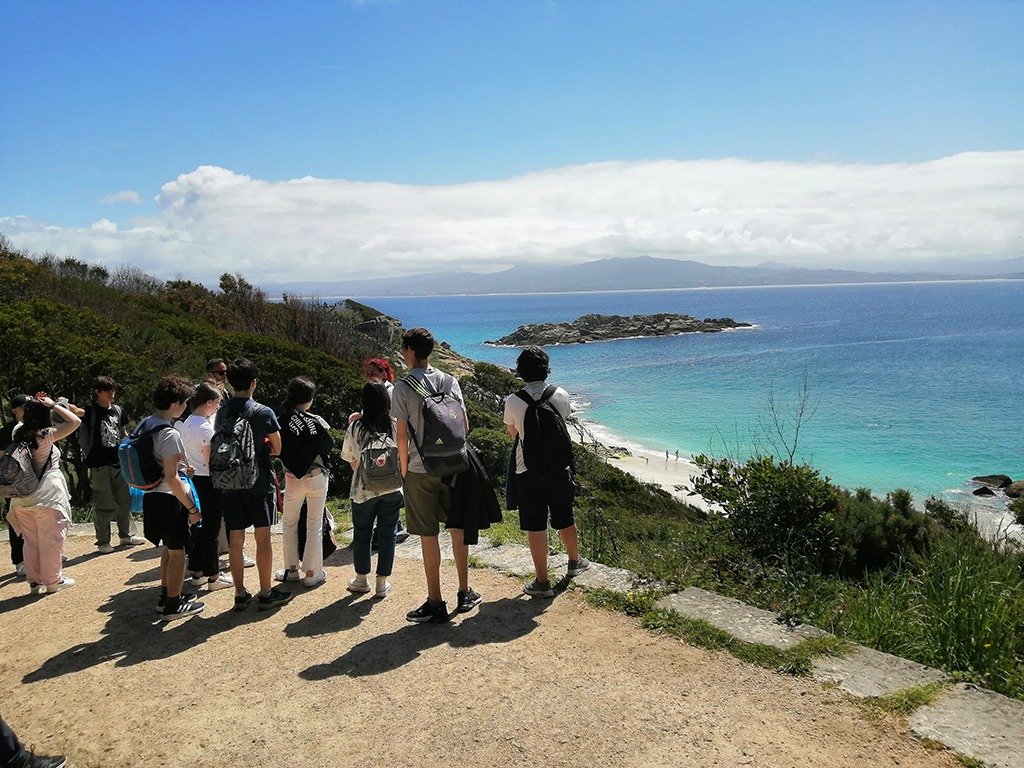
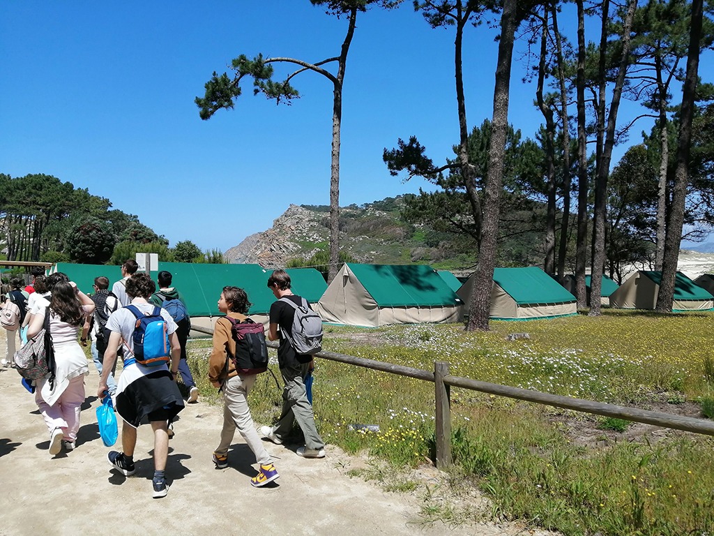
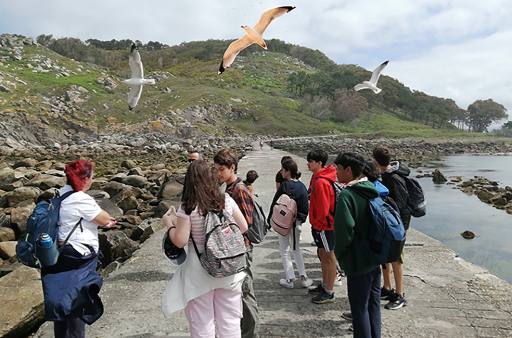
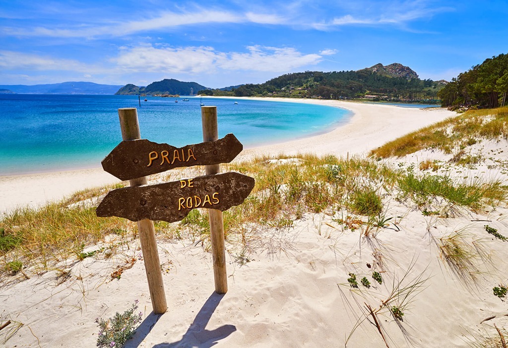
During our visit, we took a guided route of almost 3 km from Rodas Beach to the “A Pedra da Campá” viewpoint. During the journey, we observed different ecosystems and learned about the species that inhabit them and their conservation. We visited the lake, Nosa Señora Beach, the Pedra da Campá viewpoint, and the Cíes Lighthouse, dating back to the mid-19th century and located at 175 m, the highest point of the islands. From there, we enjoyed spectacular panoramic views.